
Find Bucks County Neighbors by Parcel
A block-level search in Bucks County is a parcel exercise, not a household directory. Start with a verified address in Bucks County Assessment iCare. Its address search returns property records that can lead to an assessed owner and map number. The property map or Bucks County Parcel & Floodplain Viewer then puts the chosen parcel beside its adjoining polygons. Each adjoining parcel needs its own record check. That method produces a modest, source-based block ledger instead of an assumed roster of people.
| Source | What it shows about a block | Access and limit |
|---|---|---|
| Assessment iCare street search | Address-matched parcels and each record's assessed owner and property categories | Free; 20 results per page and the session expires after a new search or exit. |
| Assessment property map | Highlighted parcel, aerial context, and adjacent-parcel selection | Select and zoom controls, but no demographic or occupant list. |
| Parcel & Floodplain Viewer | Parcel geography, municipal setting, map layers, and nearby parcel comparison | Free reference map, not title or survey proof. |
| Recorder and LANDEX | Recorded parties and a deed chain for a selected parcel or owner | Party and date indexed; remote WebStore access is paid. |
| Voluntary civic resources | Public contacts, meetings, newsletters, or a published voluntary directory | Contacts are not proof of membership or a private address. |
Assessed ownership and occupancy are not the same fact. Keep a source date with each result, then use only the record's stated purpose. That restraint matters when a parcel is vacant, an owner receives correspondence elsewhere, or an address is protected.
Map Bucks County Neighbors Parcel by Parcel
The Bucks County map method begins after a Bucks County Assessment iCare result opens by map number. Bucks County assessment help documents a highlighted aerial parcel map, Zoom In and Zoom Out, Centre on Page, Select Parcel, and Select Parcel and Zoom In. Bucks County's separate viewer adds roadway, municipal, flood, and parcel context. Neither system claims an all-neighbors button, a radius report, a mailing-label export, or a resident roster. The useful result is a sequence of selected parcels that can be verified one at a time.
- Find the subject address in Bucks County Assessment iCare and note its map or parcel number, situs address, municipality, and assessed owner.
- Open the record's map category or the Bucks County Maps & Data portal, then zoom to the selected parcel.
- Select one adjoining polygon. Return to the assessment record and capture only the displayed parcel number, situs, owner, and available assessment or sales category.
- For a deed question, search the selected owner and likely transaction period in LANDEX. For a longer named-road trail, use the Bucks County street directory.
This flow uses the map as a bridge to records. It does not justify guessing who lives on any adjoining lot.
Keep a Bucks County Neighbor Ledger
A small Bucks County block ledger makes a neighbor search more accurate and less intrusive. For each directly adjoining parcel, note the parcel number, situs address, assessed owner, refresh context, deed reference if one is actually checked, and municipality. The parcel number is especially useful because Bucks County recording requirements call for a County Tax Parcel Number on a real-estate document. It is a more stable join than a postal city or a casual street-name match.
Do not fill missing fields from guesses. A Bucks County tax interface distinguishes Location Address from Mailing Address, City, and ZIP. The first is a physical parcel location; the second is a correspondence route. A mailing result does not establish a person's current location, and a property record does not report every household member. When the next question is about a historical occupant, use a dated source such as a directory, census release, obituary index, probate record, or local archive only where that source exists.
- Assessed owner
- The legal owner shown in the assessment record, which may not be an occupant.
- Situs address
- The physical location of a parcel, distinct from an owner's mailing address.
- Parcel number
- The county map or tax identifier used to join property, map, and recorded-document research.
- Legal description
- The recorded land description that can connect a deed to a prior instrument or plan.
Check Bucks County Neighbor Deed Context
Use the Bucks County Recorder after a parcel or owner lead is in hand. The Recorder's files are organized by parties and years rather than an address browse. In LANDEX General search, select BUCKS, enter a company or last name, supply a first name for an individual, choose a document type, and narrow with dates when possible. The portal permits wildcards but limits name matches to 250. It also supports direct instrument-number and book-and-page routes for a known document reference.
Bucks County describes sellers or borrowers as Direct Parties and buyers or lenders as Indirect Parties. An acquisition deed can contain a legal description and recital, sometimes called a being clause, that identifies the predecessor document. That helps check a selected parcel's recorded trail without claiming that a map defines title. Since July 1, 2012, new recordings use instrument numbers rather than newly assigned book and page references. Older history may require the Recorder's historic index groups and public research area.
For the document-search interface, use LANDEX WebStore. Certified copies are obtained from the courthouse, not the WebStore.
Bucks County Neighbors and Voter Records
Election records have a narrow role near a block. Pennsylvania's public-facing voter service is for an individual registration and polling inquiry. Bucks County's Board of Elections maintains registration files across 304 voting districts in 54 municipalities, but the web service is not a street-browse resident directory. The official voter-list form describes certain products, including a Street List, and assigns them certifications and use limits. A street list covers registered voters, not every person on a road or block and not proof of present occupancy.
| Official record route | What it can confirm | Commercial neighbor category | Practical difference |
|---|---|---|---|
| Assessment and parcel map | Assessed property context and selected parcel identifiers | Compiled property and public-record summaries | County source shows its own record scope and refresh context. |
| Recorder document | Recorded parties, instrument placement, and legal-description trail | Compiled ownership claims | Recorded document is checked with its custodian and date. |
| Voter Services | Individual registration or permitted list product under stated rules | Broad people or block claims | Official access has certification, purpose, and privacy boundaries. |
The category of commercial neighbor tool can vary in coverage and update date, so it is not a substitute for an official document. Use the Pennsylvania voter registration service for its stated individual purpose, and protect voter signatures and SURE identifiers.
Note: A voter result is a dated registration clue, not evidence that every person at a physical address is a current neighbor.
Bucks County Neighbors Across 54 Municipalities
Bucks County's 54 municipalities make record geography a real block-level issue. A road can cross borough or township lines, and a postal community or ZIP label may cross municipal boundaries. The Planning Commission's municipal directory is the routing tool after a parcel map identifies the local jurisdiction. Use the municipality, parcel, and legal description together before asking about local permits, inspections, planning documents, or enforcement material.
USPS address lookup can standardize a known delivery address and ZIP, but it is not a municipal-boundary map or residency search. County tax and assessment forms make the distinction visible: Location Address represents the parcel, while Mailing Address, City, and ZIP concern tax correspondence. A block that looks continuous on a map can therefore lead to different municipal custodians. Preserving that distinction is a useful Bucks County numbers check, not a technicality.
Bucks County Neighbor Community Contacts
Community sources are useful for finding a legitimate contact route, not for constructing a resident roster. Solebury Township's community-resources page lists neighborhood, development-management, and community contacts while making clear that association rules and responsibilities vary. It also identifies the Solebury Historical Society as a property-research resource. Tinicum Civic Association publishes its mission and contact route, not a membership directory. Bucks County also maintains a public historical and civic organization category directory.
| Community resource | Useful local purpose | Public boundary |
|---|---|---|
| Solebury Township community resources | Find published neighborhood or development-management contact routes and historical-society information | No member roster is represented as public. |
| Tinicum Civic Association | Find an area civic contact and mission information | A contact route does not establish membership or a private address. |
| Bucks civic organization directory | Locate public historical or civic organization leads | Use each group's own published terms and privacy practices. |
See Solebury Township community resources for one official local-government example of this voluntary contact layer.
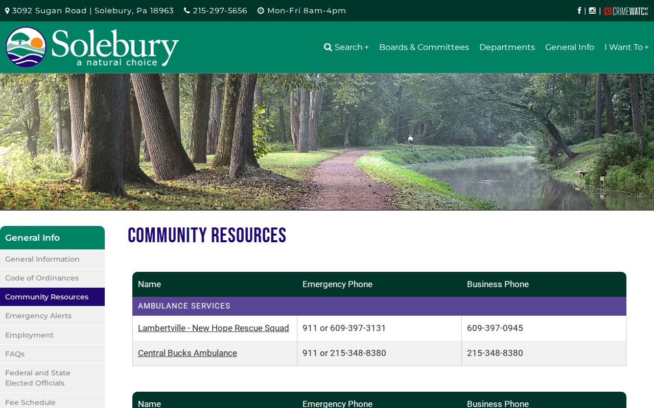
The county evidence supports contacting an organization through its published route, not treating the page as a directory of people.
The Tinicum Civic Association mission page provides another local civic contact example.
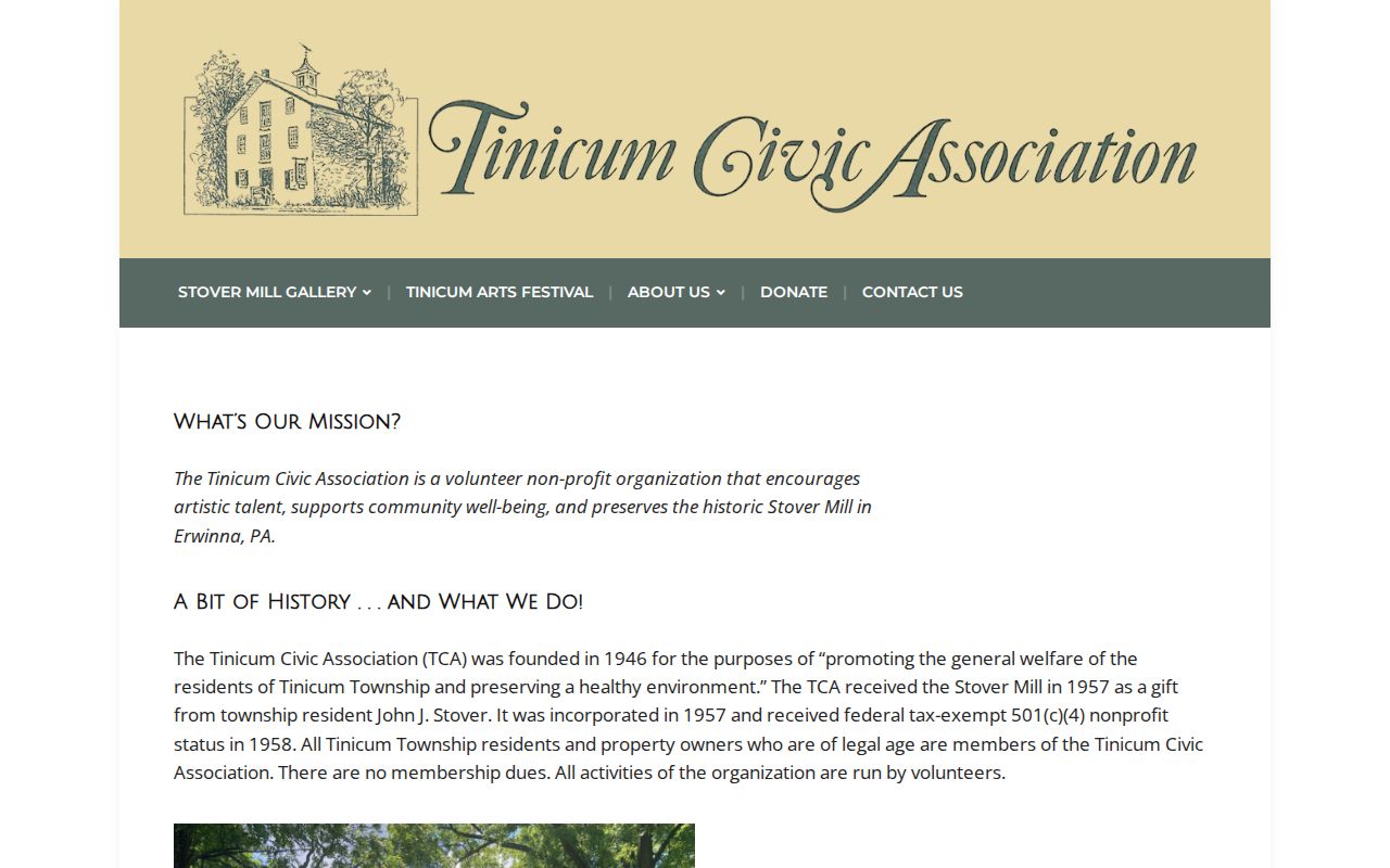
A civic group can add neighborhood context, but a property or address conclusion still needs the appropriate official record.
The Bucks County historical and civic organization directory is a county-maintained lead for organizations with public listings.
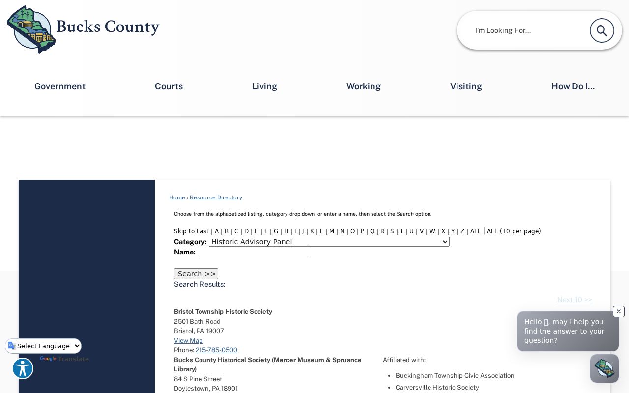
Use that directory to find an organization's published contact information, then follow its own participation and privacy rules.
Privacy Limits for Bucks County Neighbors
Bucks County property and map records do not disclose every person in a home, utility data, delivery information, motor-vehicle records, or protected address information. Pennsylvania's Safe at Home Address Confidentiality Program can provide an eligible participant a substitute mailing address for specified public records. Under the program's statute, applications, actual addresses, and waivers are confidential except as the law allows. Do not use a parcel, mailing address, adjacent polygon, or civic contact to infer protected details.
When an official record is wrong, direct the correction request to its custodian. A general county Right-to-Know request is not a shortcut to confidential, court, row-office, or investigative records. Pennsylvania law also restricts voter signatures and identifying system fields, while Right-to-Know exemptions protect specified personal data. The sound result is a limited, documented property or civic fact, not a conclusion about someone's private life.
Lawful use. Bucks County neighbor research is for personal, lawful purposes. Never use parcel, map, civic, or public-record information to stalk, harass, intimidate, or harm another person.